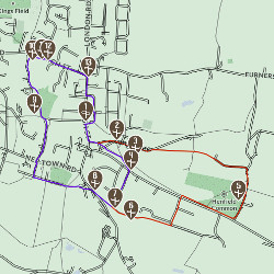
TRAIL LOCATION - NEP TOWN
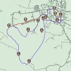
Nep Town, meaning "Up" or "High" town, was an ancient settlement before Henfield existed. Note the workhouse on the left, now called Cedar View, built in 1736 to house the destitute of the parish. It closed in 1837 following the Poor Law Amendment Act of 1834. Nep Town runs along the edge of the sandy ridge. Turn left briefly into Weavers Lane for fine views of the South Downs and water meadows (which we will see later). A route from the settlement ran to a wharf on the River Adur (seen at 8). Early settlers saw the ridge of Nep Town, from the river, as an opportunity to live on secure, well-drained, fertile land.
This location IS on the following trails:
Hidden Henfield aims to bring you some of the highlights from a trip to Henfield. You’ll find suggestions for fantastic walks, alongside historical facts about the sites you can see, as well as information on how to explore the countryside, places to eat and where to stay.
Whether you plan to pop by for a few hours or stay for the weekend, you’ll find inspiration in this unique location.
Hidden Henfield
c/o Henfield Community Partnership
Henfield Parish Office
Coopers Way
Henfield
West Sussex
BN5 9DB

This Website, Green Wayfarer posts in and around Henfield and Visitor Information screen located in Village Care Henfield High Street have been funded by Central Sussex LEADER Local Action Group.
Quick links