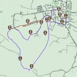
TRAIL LOCATION - THE RIVER ADUR
The River Adur is tidal, and the increased salt content in its more southern section limits the variety of plants that can grow. Many species of butterfly can be seen along this trail in summer months. Flaps are used to control flows of water into the river allowing it to flow freely at lower tides. River trade on the Adur took place until the late 1800s and the straightened section that you walk past here was built in the early 1800s to aid the travel of 40 foot long barges. In the Middle Ages, the river banks did not exist and the area occupied by the course of the modern-day river and the brooks was a wide estuary, with agricultural activity up on the Henfield ridge. In the 18th century, coal, chalk and malt were transported on barges upriver, and timber downriver.
This location is on the following trail:
Hidden Henfield aims to bring you some of the highlights from a trip to Henfield. You’ll find suggestions for fantastic walks, alongside historical facts about the sites you can see, as well as information on how to explore the countryside, places to eat and where to stay.
Whether you plan to pop by for a few hours or stay for the weekend, you’ll find inspiration in this unique location.
Hidden Henfield
c/o Henfield Community Partnership
Henfield Parish Office
Coopers Way
Henfield
West Sussex
BN5 9DB

This Website, Green Wayfarer posts in and around Henfield and Visitor Information screen located in Village Care Henfield High Street have been funded by Central Sussex LEADER Local Action Group.
Quick links